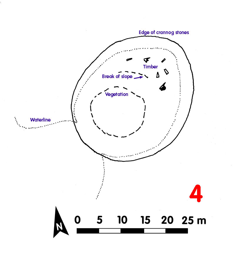
Crannog 4 Loch Awe[click on graphics for larger view in new window] |
Location: Cŕrn Dubh
Map reference: NN 001 177
Date of Survey: 25 October 1972
Loch level OD: 35.265 m
Highest point of crannog OD: 36.595 m
Top to bottom of crannog: 3 m
Overall spread: 31.5 m x 28 m
Usable area: 23 m x 19 m
Description (1972): Timber substructure visible to north-east, where seven timbers – all rough trunks. To east an area of chips below the top surface boulders.
Conical area to south-west, with trees and bushes. Crannog sides particularly steep. Sandy spit leads to shore
Finds:
• Possible whetstone found by timber to north side
• Small spherical pebble, ca 50 mm diameter, battered on one side, appeared to be a hammer stone, on highest part of crannog to north-west
Dating:
Post-1972:
CLICK TO ENLARGE

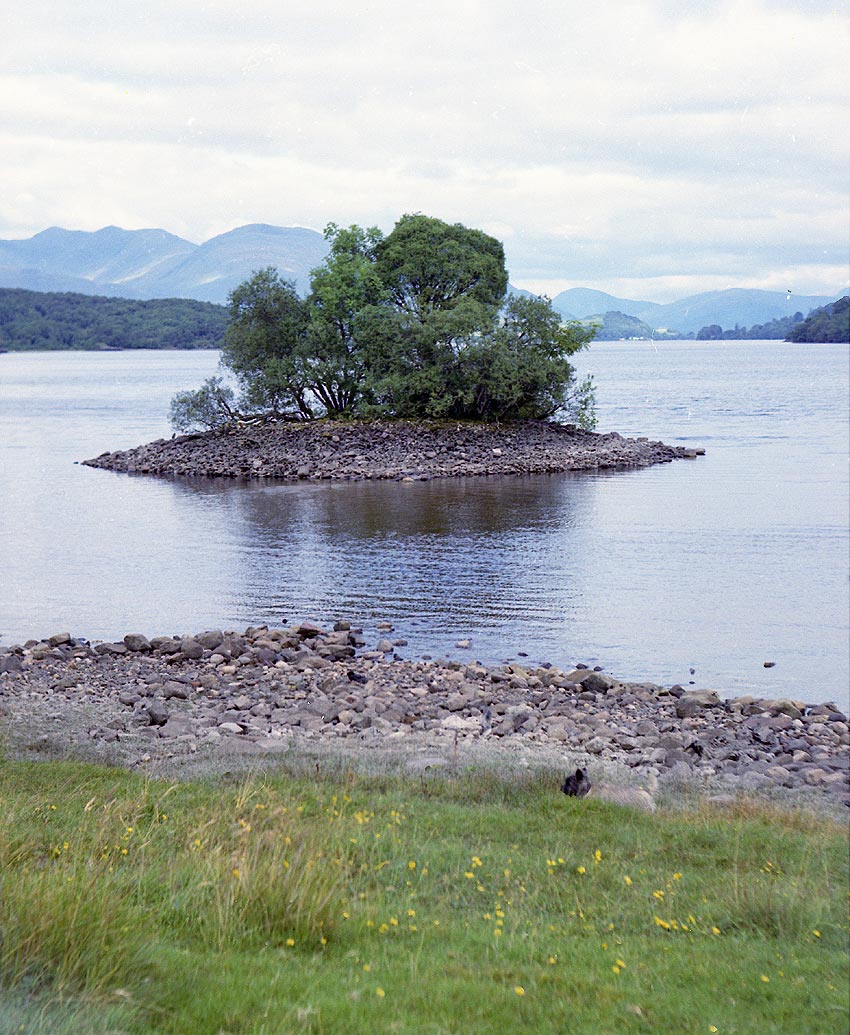
Crannog 4 on other side of loch (inside red box)
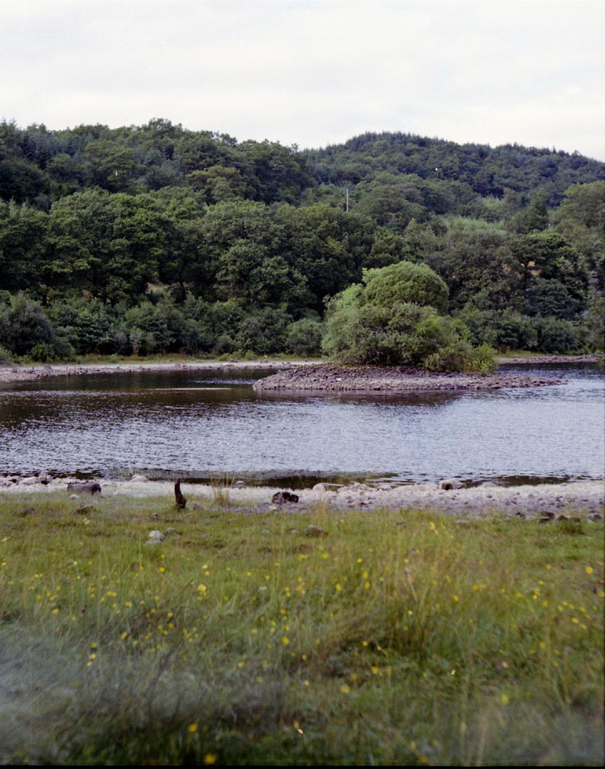
Crannog 4 (from SE, above; SW, below) with water level lower than normal in August 1972. By end September 1972 the falling loch level revealed a sand spit leading to the shore
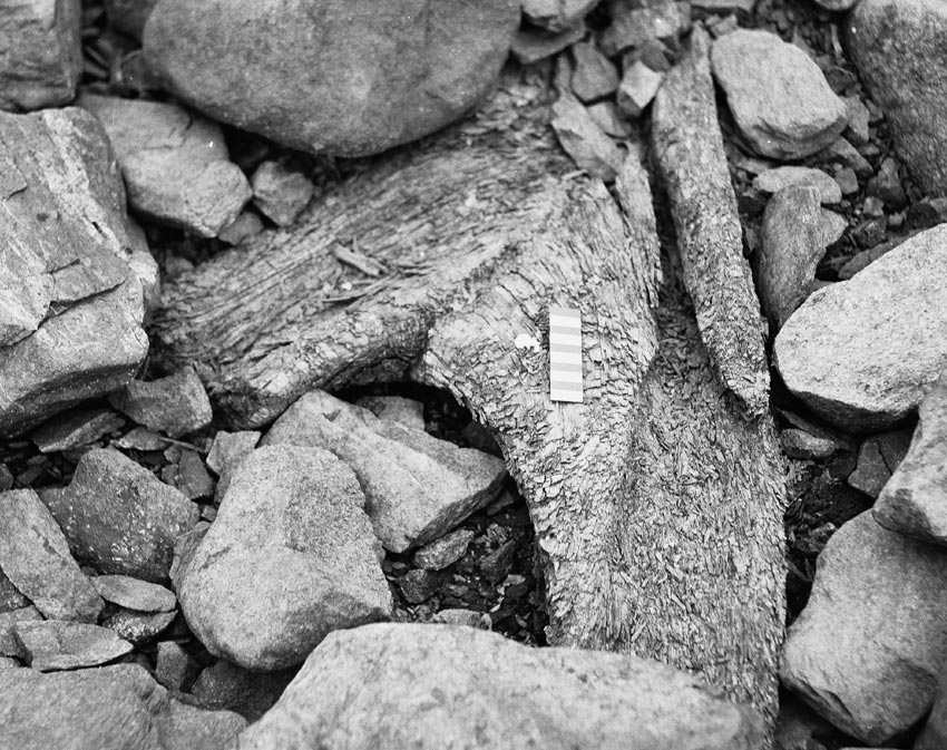
Unworked timber in the structure of Crannog 4
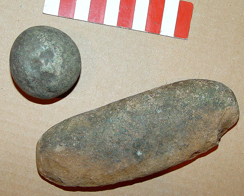
Pebble hammerstone and possible whetstone: no particular date
Back to front page